Additional information
| Dimensions | 20ʺW × 17ʺD |
|---|---|
| Location | |
| Status | Sold |

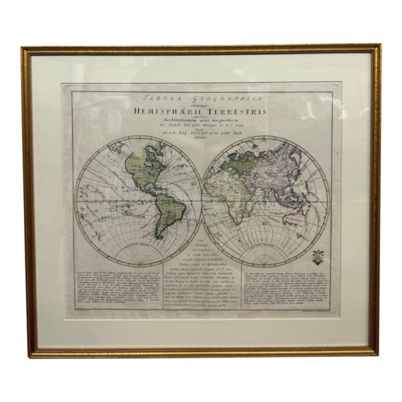
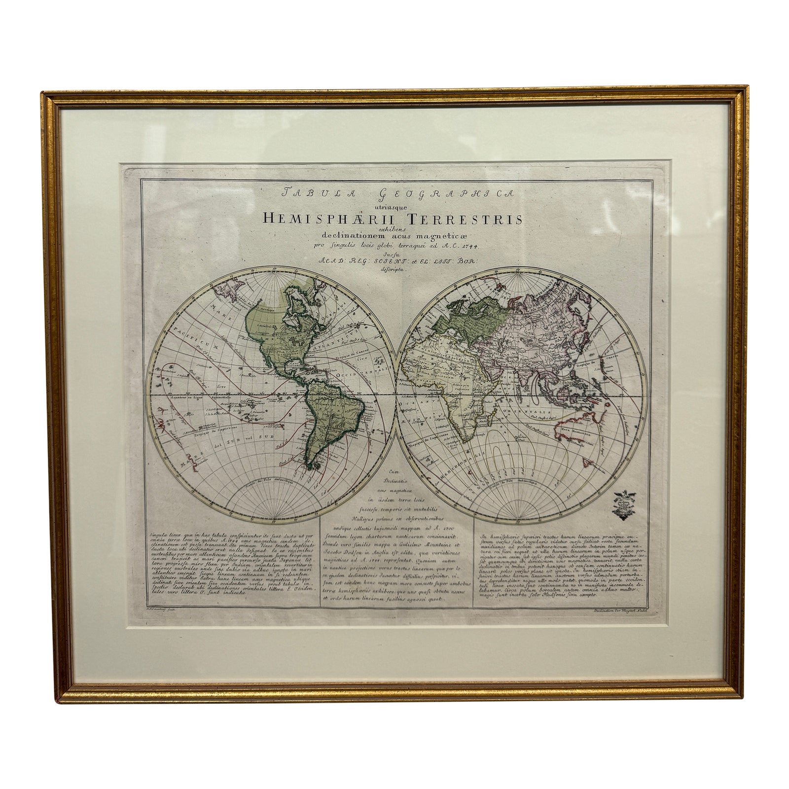
Design Plus Gallery presents a Double Hemisphere 1750’s Map. A double hemisphere world map, showing the deviation of the compass needle from the true north, with three columns of explanatory text in Latin below. In good condition, custom framed. From Sanders of Oxford.
“Leonhard Euler (Basel 1707 – St. Petersburg 1783), cartographer, physician and mathematician.
Published ‘Atlas Geographicus’ for the Prussian Royal Academy of Sciences and Litterature in Berlin between 1753 and 1760.”
| Dimensions | 20ʺW × 17ʺD |
|---|---|
| Location | |
| Status | Sold |