Additional information
| Dimensions | 29.5ʺW × 1.5ʺD × 24.5ʺH |
|---|---|
| Location | |
| Status | Sold |



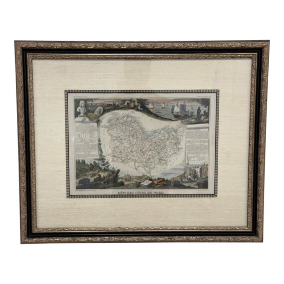
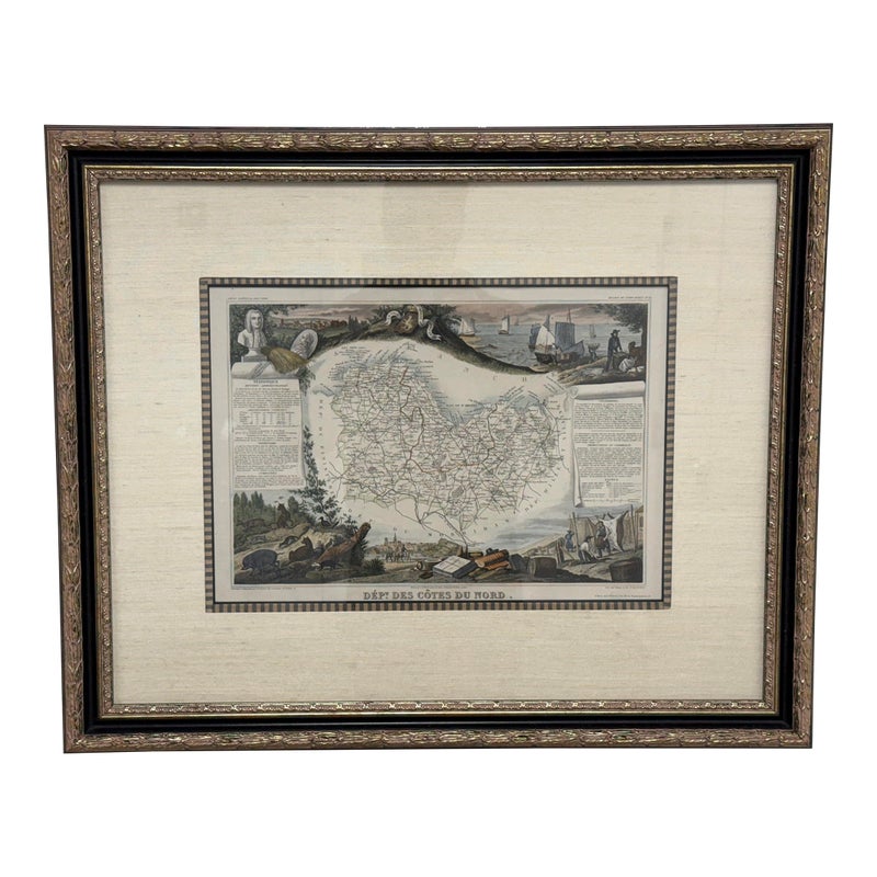

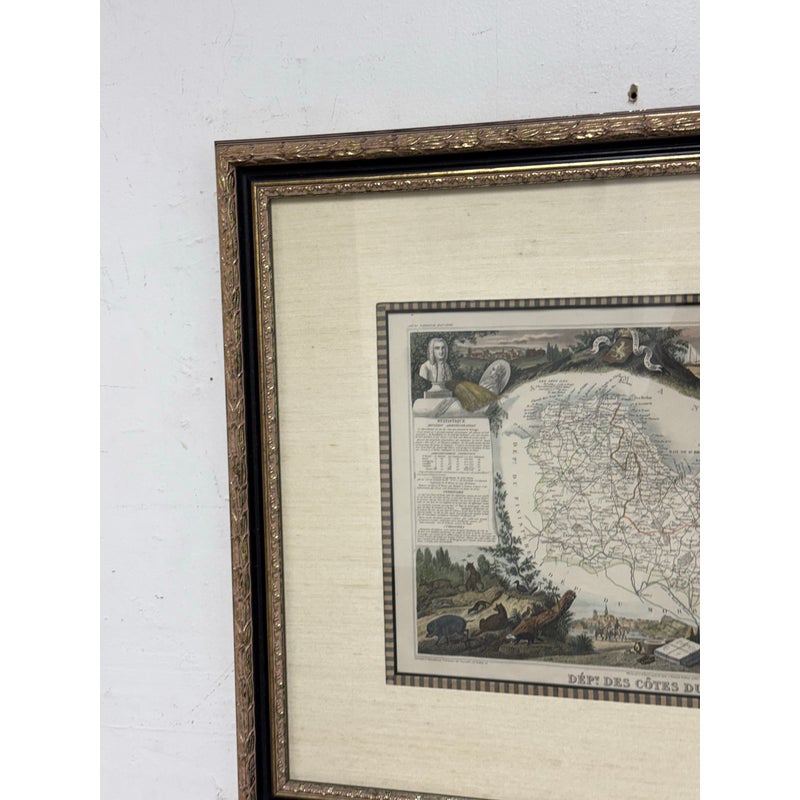
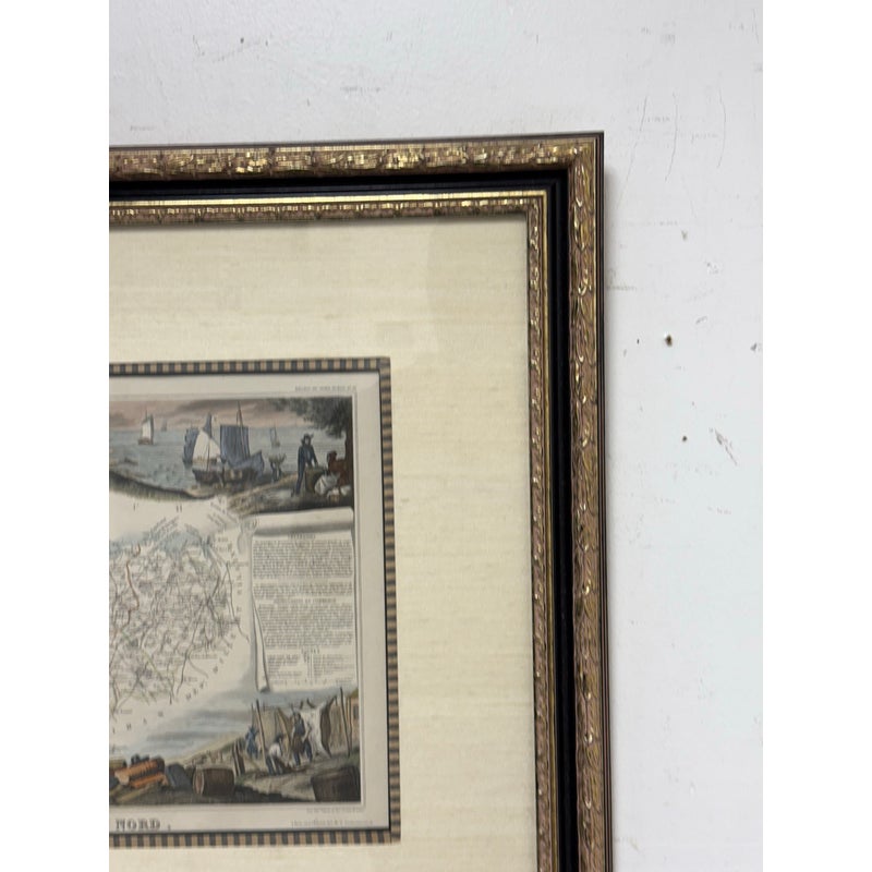
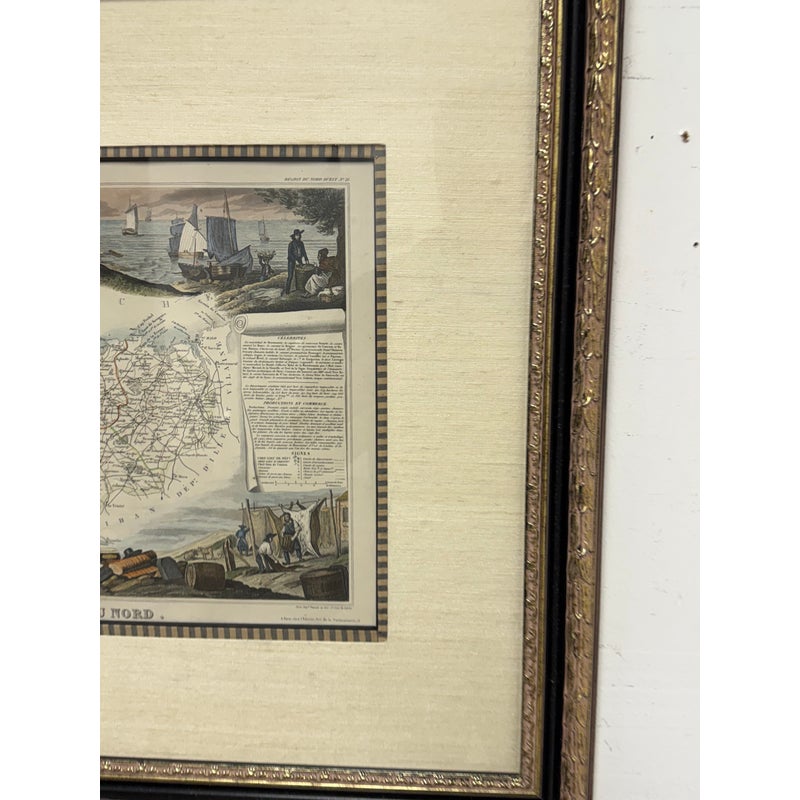
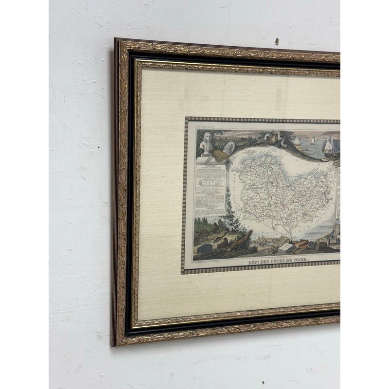
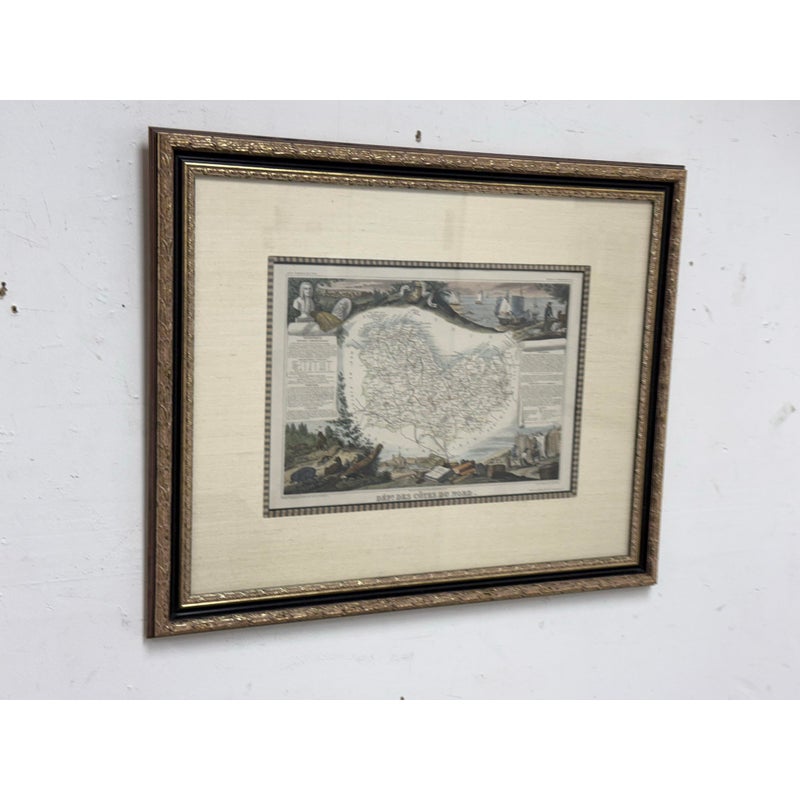
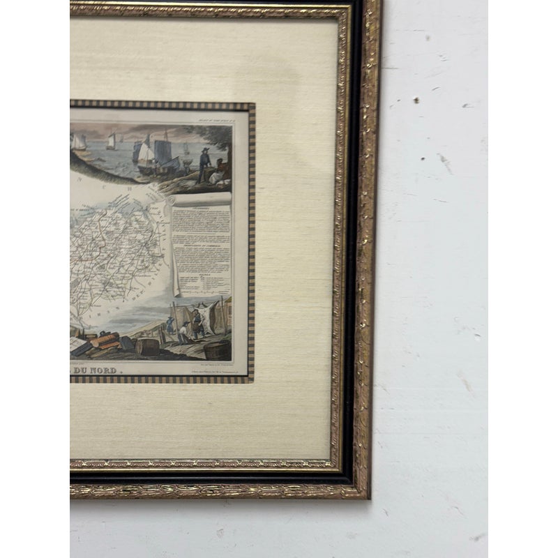
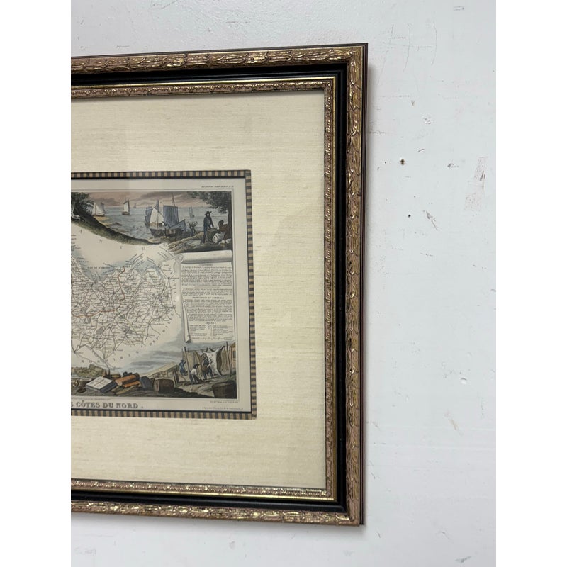
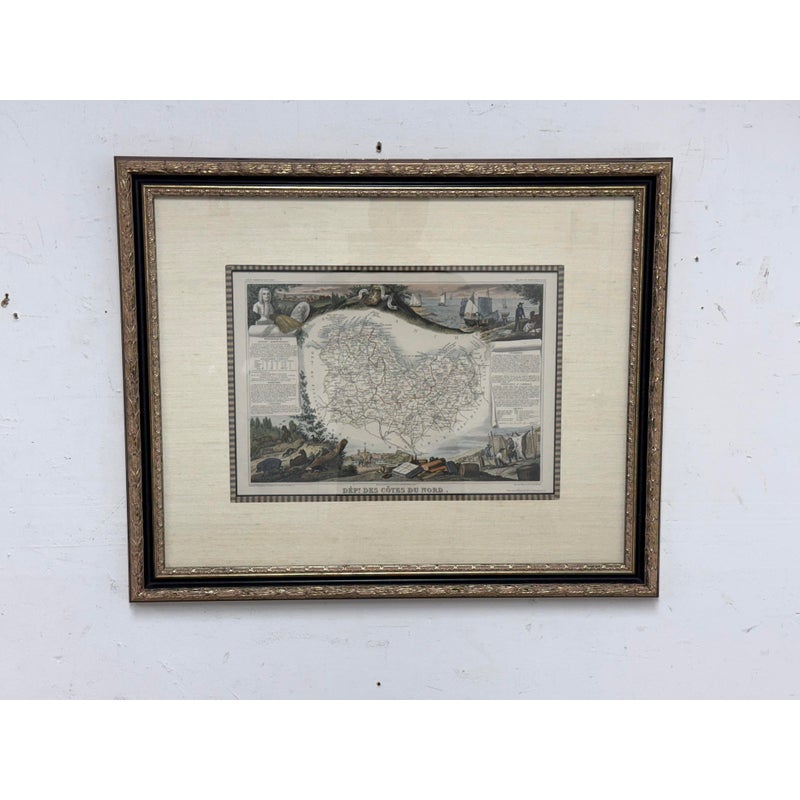
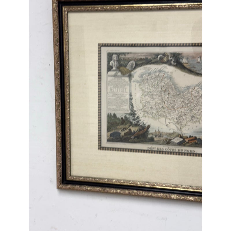
Design Plus Gallery presents the Dépt. des Côtes du Nord Antique Map. Framed in Black and Gold Leaf with an extraordinary silk + linen matte, the map is of the maritime region in Brittany, France. The whole is surrounded by elaborate decorative engravings designed to illustrate both the natural beauty and trade richness of the land. There is a short textual history of the regions depicted on both the left and right sides of the map, written in French. This map originates from ‘Atlas National de la France Illustré’. Published by A. Combette, Paris, 1854. Is is good condition for its usage.
| Dimensions | 29.5ʺW × 1.5ʺD × 24.5ʺH |
|---|---|
| Location | |
| Status | Sold |