Additional information
| Dimensions | 14ʺW × 1ʺD × 16.5ʺH |
|---|---|
| Location | |
| Status | Sold |



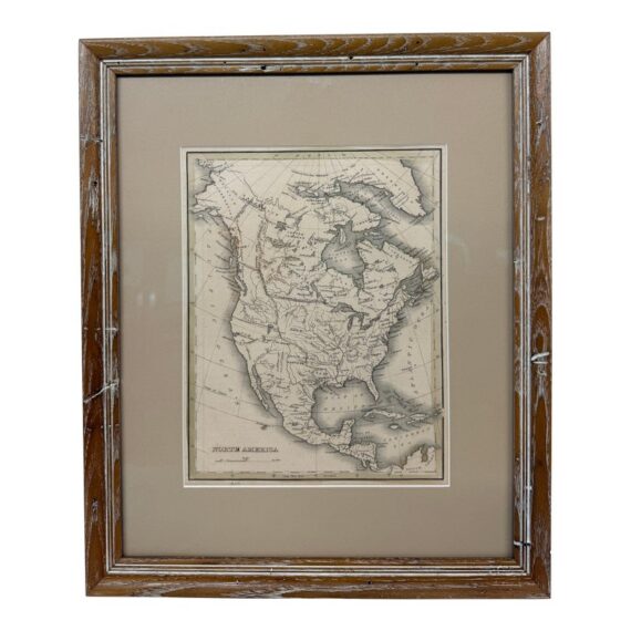
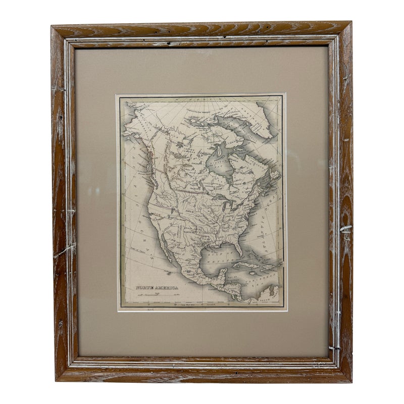
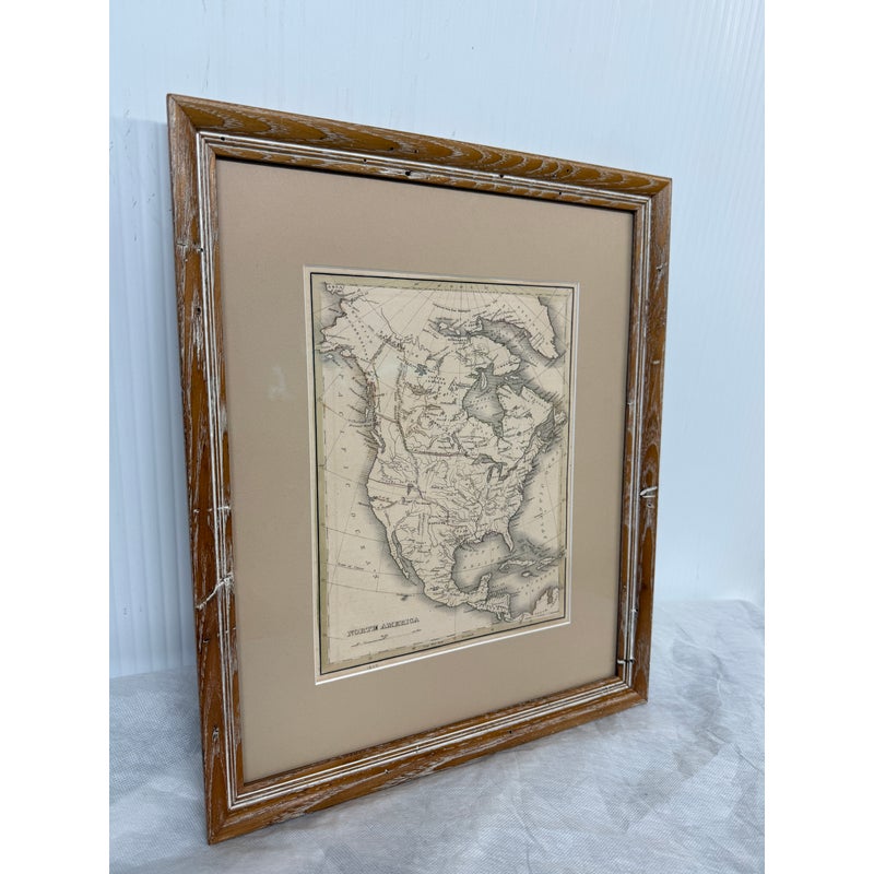
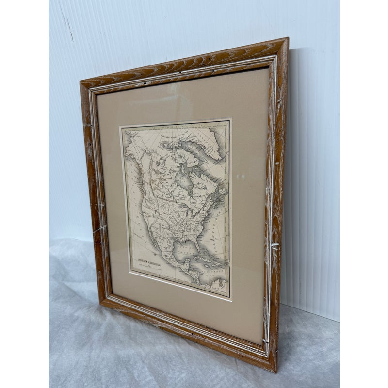
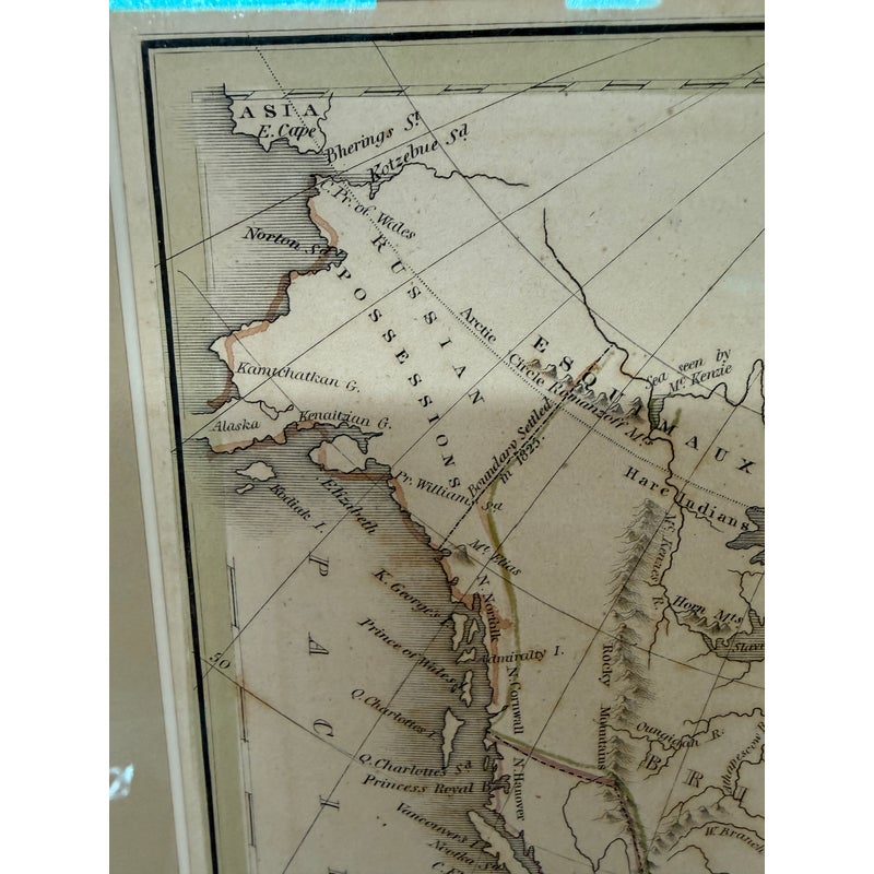
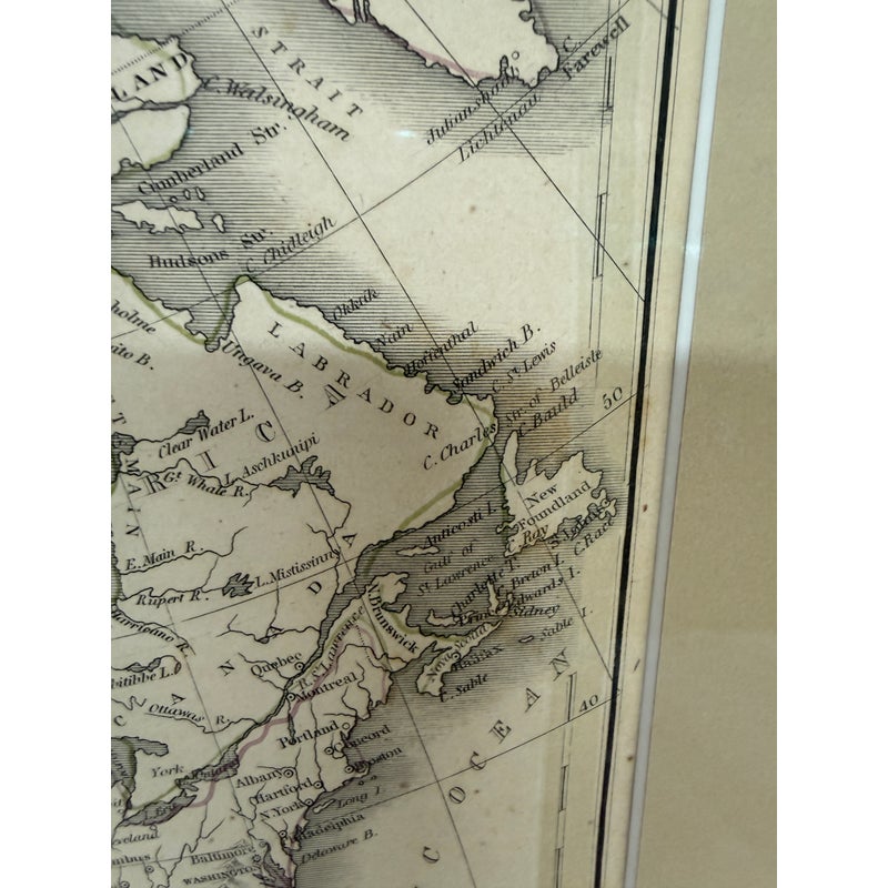
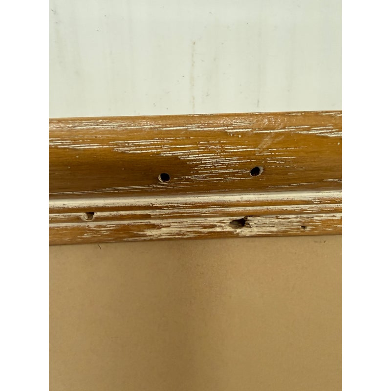
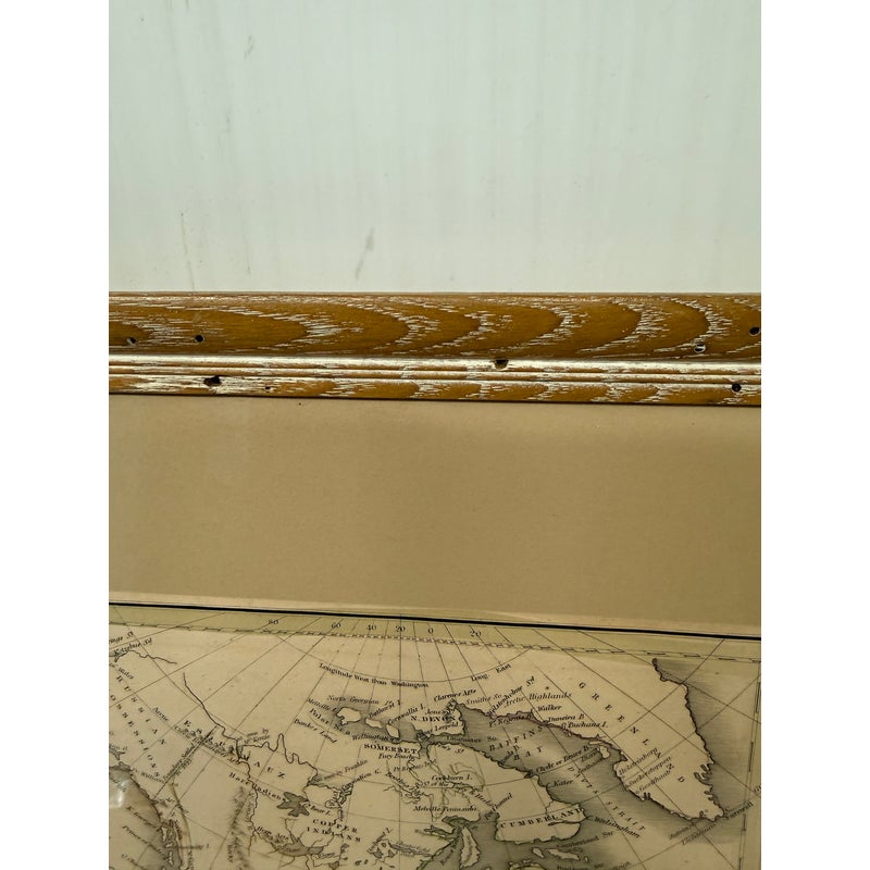
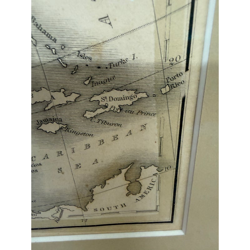
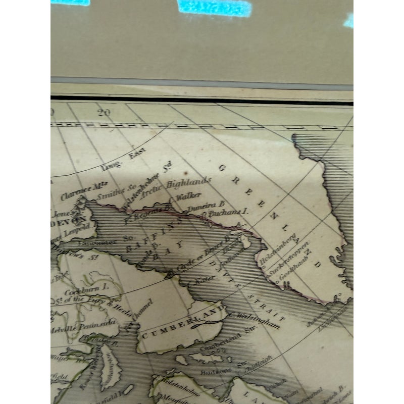
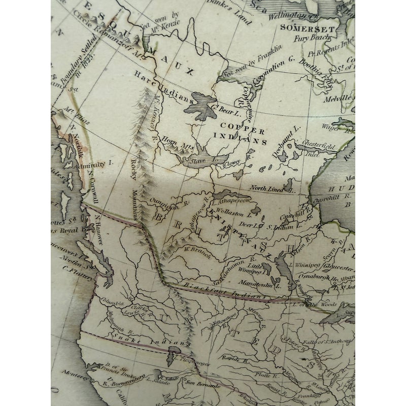
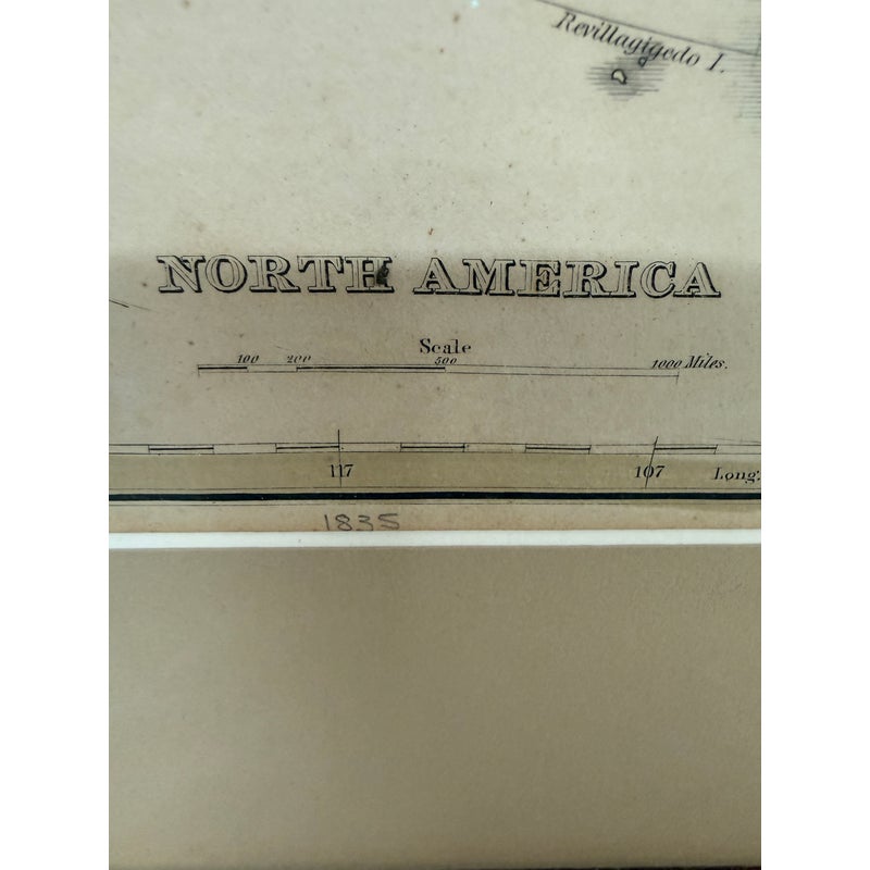
Design Plus Gallery presents an Antique Map of North America by Thomas Gamaliel Bradford. The map was original carted in 1835 and shows a very different line of plane that we are used to seeing. It is encased in a cerused and light wood frame. Overall the map is in good condition for its usage.
About the Cartographer:
Thomas Gamaliel Bradford (1802 – 1887) was born in Boston, Massachusetts, where he worked as an assistant editor for the Encyclopedia Americana. Bradford’s first major cartographic work was his revision and subsequent republishing of an important French geography by Adrian Balbi, Abrege de Geographie published in America as Atlas Designed to Illustrate the Abridgment of Universal Geography, Modern and Ancient. Afterwards Bradford revised and expanded this work into his own important contributions to American cartography, the 1838 An Illustrated Atlas Geographical, Statistical and Historical of the United States and Adjacent Countries. Bradford’s cartographic work is significant as among the first to record Texas as an independent nation. In his long career as a map publisher Bradford worked with William Davis Ticknor of Boston, Freeman Hunt of New York, Charles De Silver of Philadelphia, John Hinton, George Washington Boynton, and others. We have been able to discover little of Bradford’s personal life.
| Dimensions | 14ʺW × 1ʺD × 16.5ʺH |
|---|---|
| Location | |
| Status | Sold |